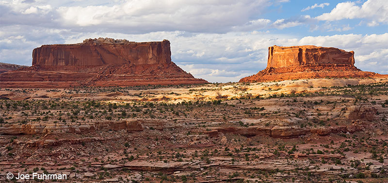
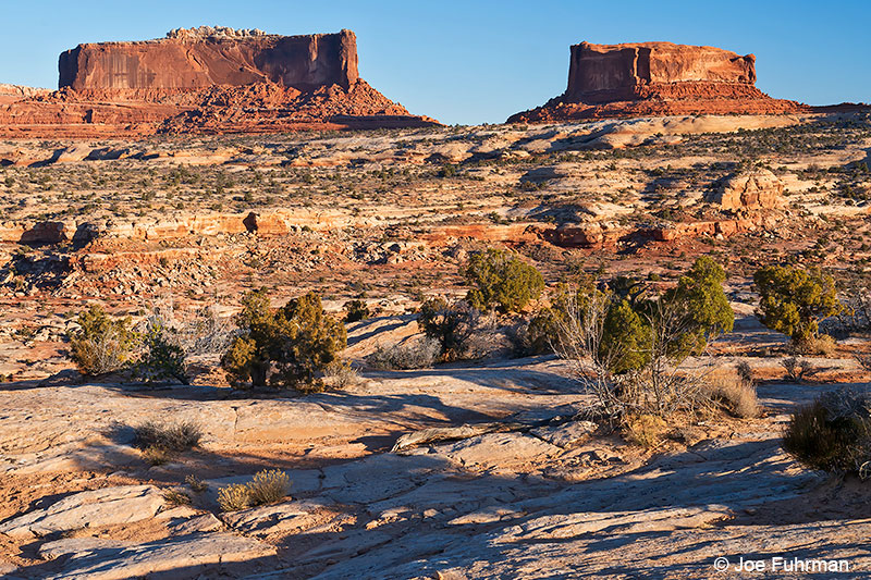
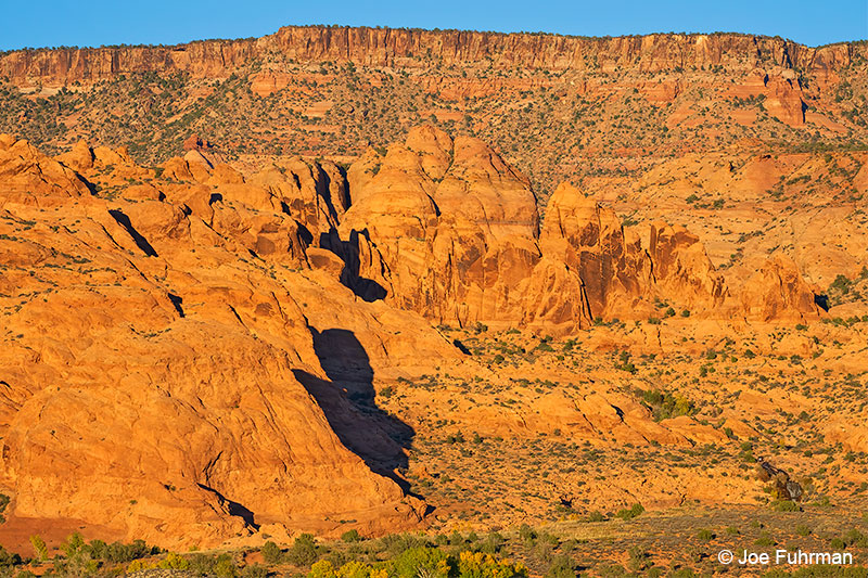
Merrimac Butte (5,627′) & Monitor Butte (named after Civil War ironclad warships)
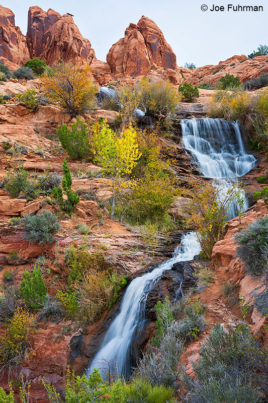
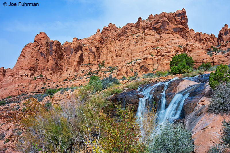
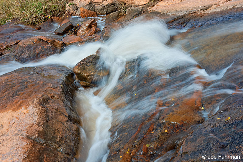
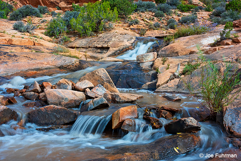
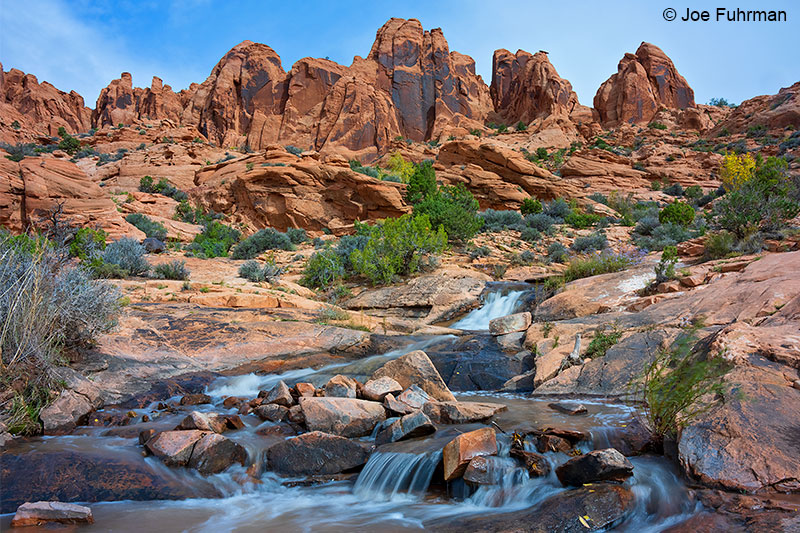
Faux Falls
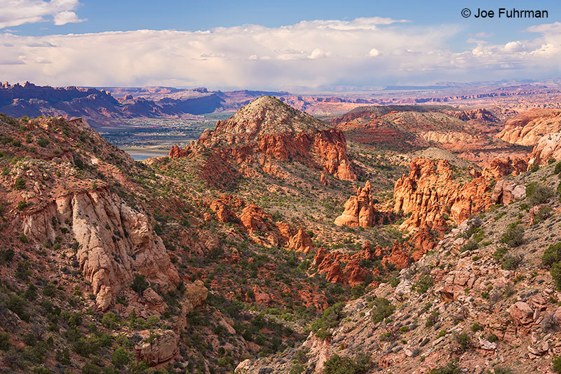
View of Moab from La Sal Loop Road
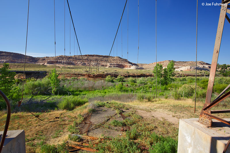
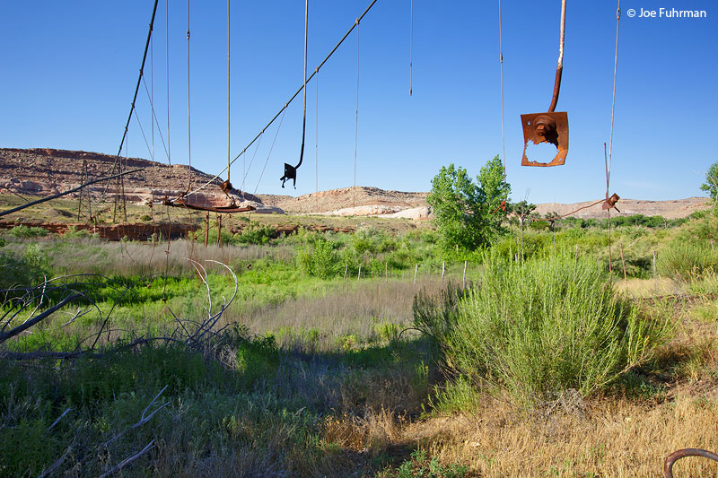
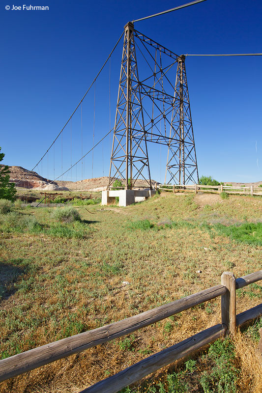
Dewey Bridge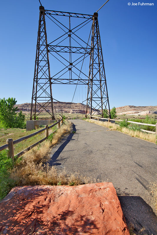
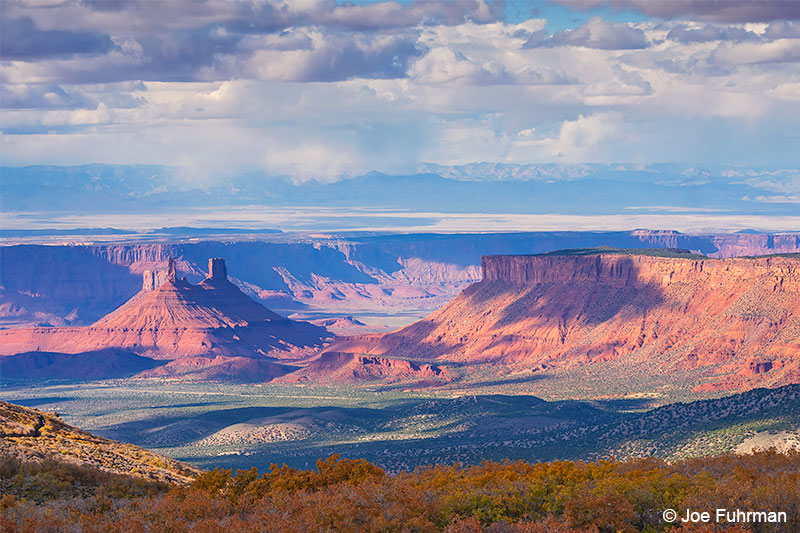
Castle Valley viewed from La Sal Loop Road
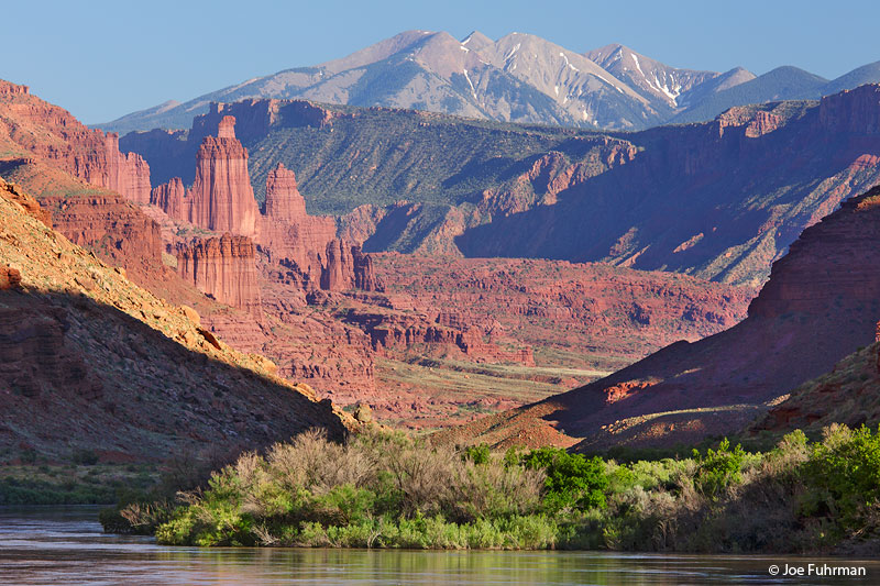
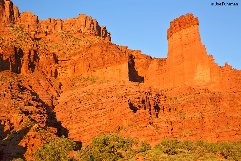
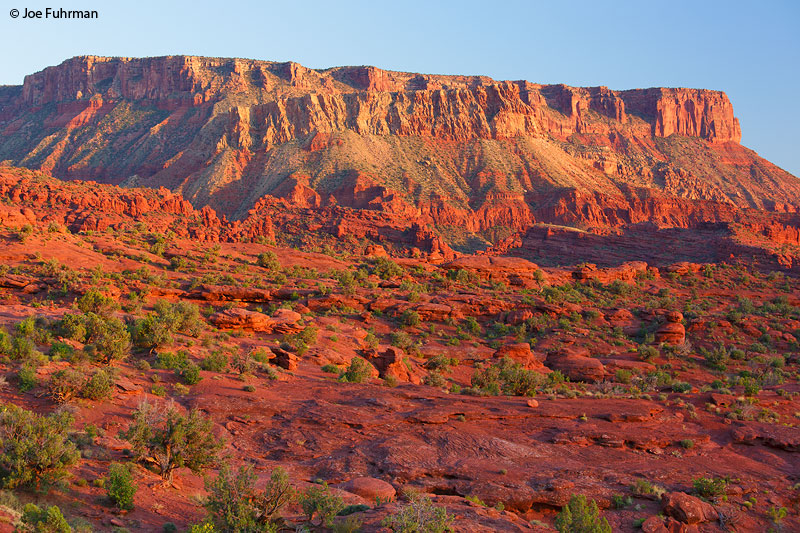
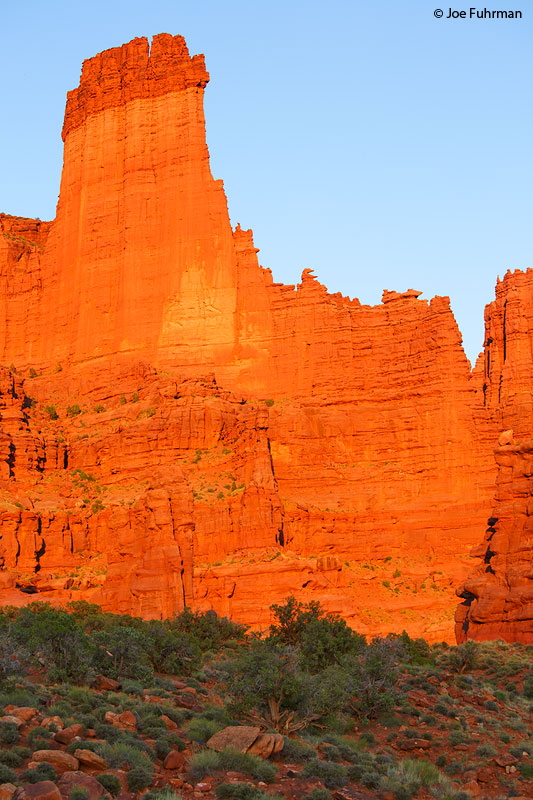
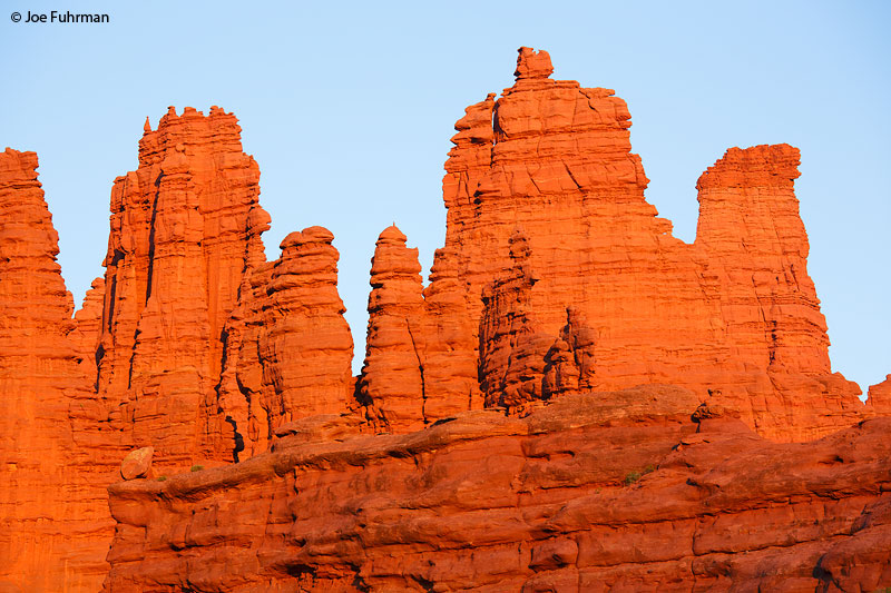
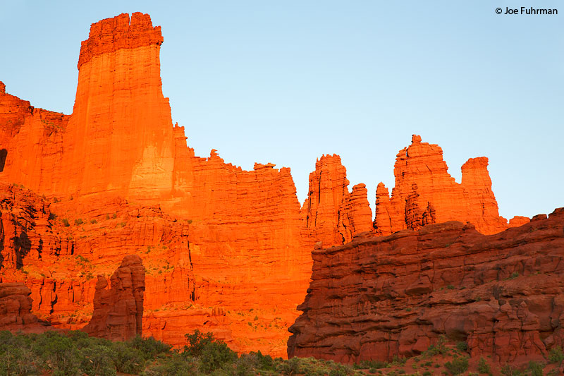
Fisher Towers
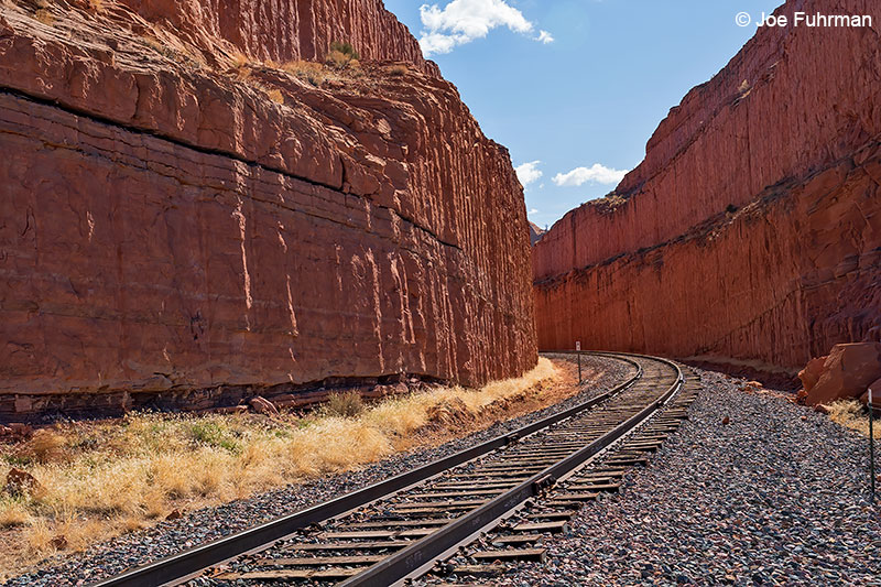
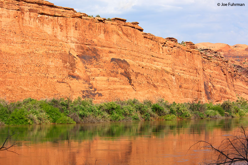
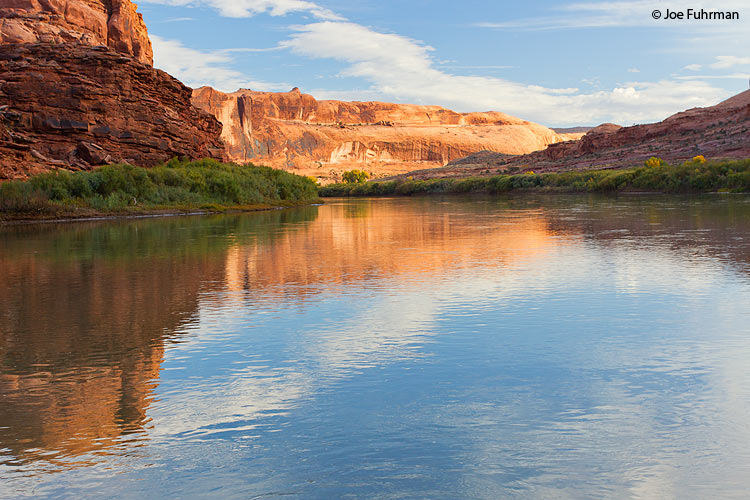
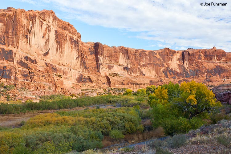
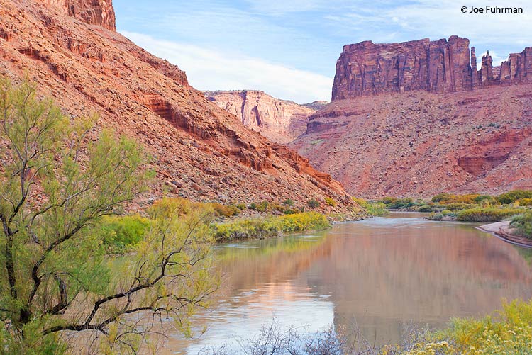
Along Potash Road
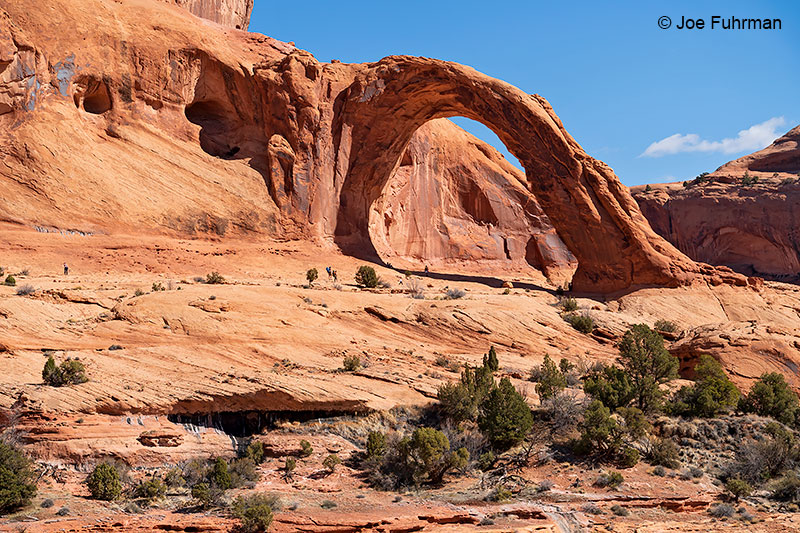
Hike to Corona Arch

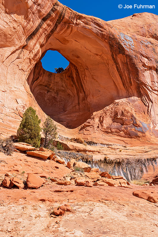
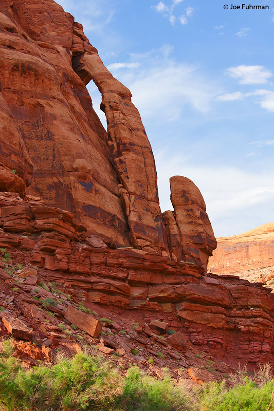
Bowtie Arch
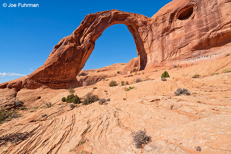
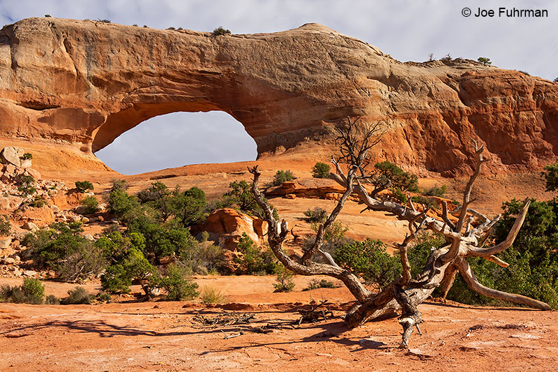
Corona Arch
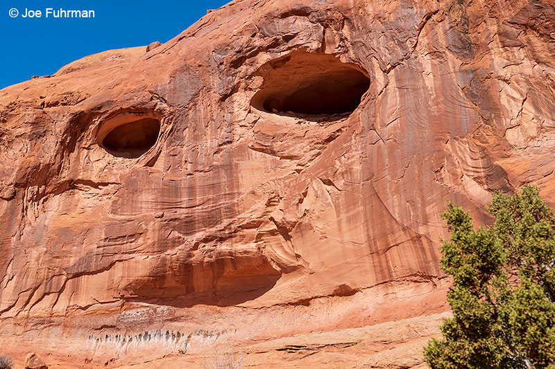
“Roswell Alien Face”
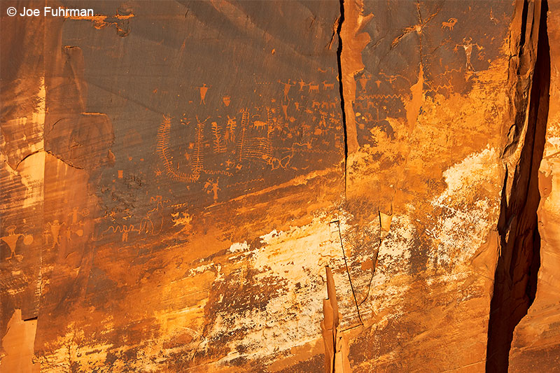
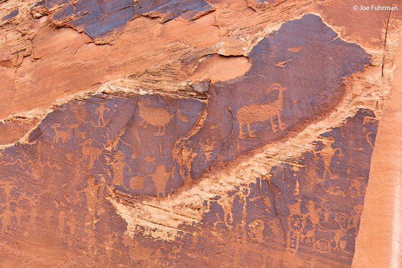
Petroglyphs
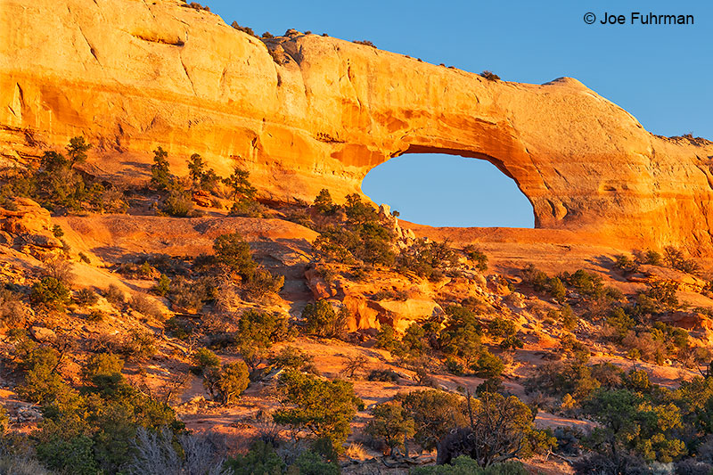
Jug Handle Arch
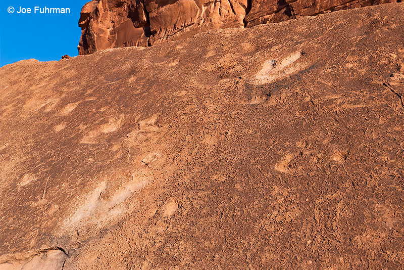
Dinosaur Tracks

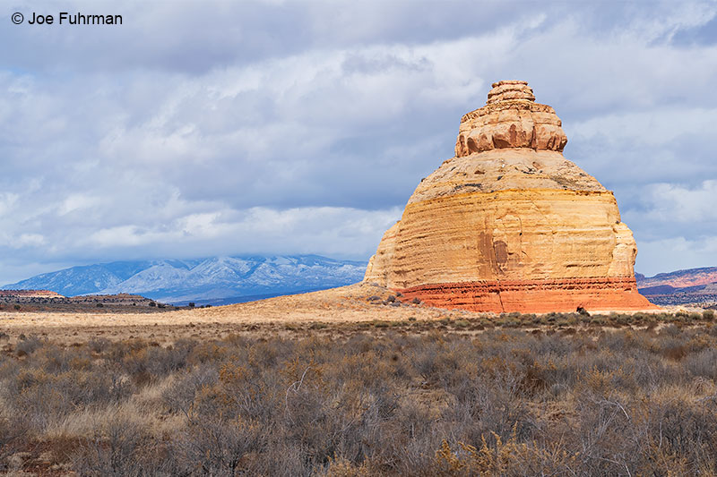
Wilson Arch
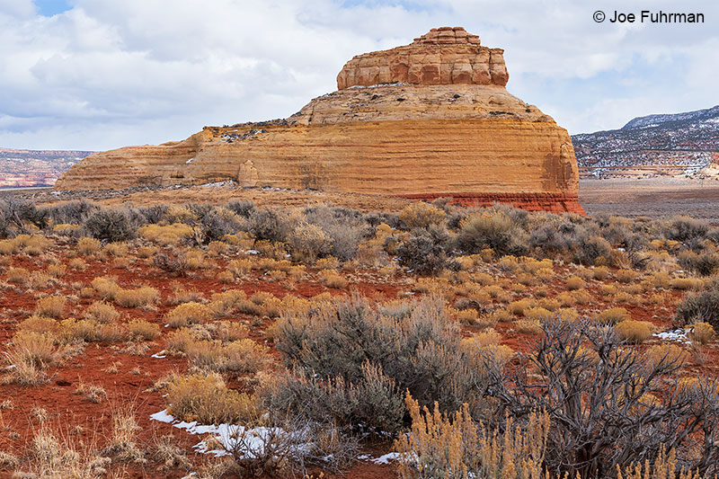
Church Rock
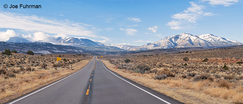
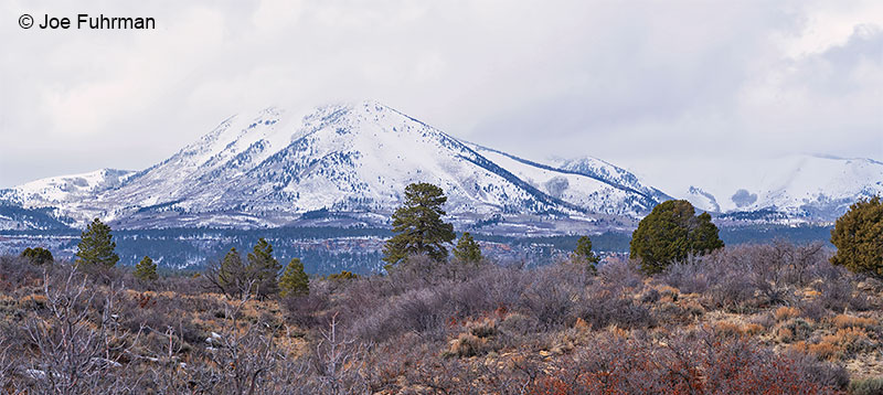
Abajo Mountains